.webp)
Aerial Intelligence
Seeing your site from the air, and understanding what it reveals.


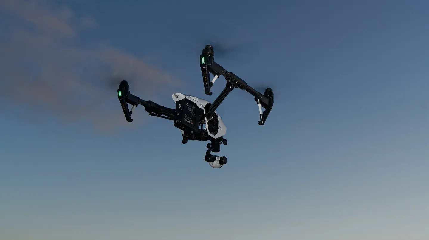
Security-focused aerial assessments for corporate, commercial, maritime and private clients.
When a drone flies over a site, it sees what ground-level security does not. The approach line that avoids every sensor on the perimeter. The skylight nobody ever thinks about. The gap between the fence line and the camera's field of view. Aerial Intelligence uses that perspective deliberately: to show you exactly what your site reveals from above, and to turn that view into concrete changes on the ground.
clients
Who this is for
.webp)

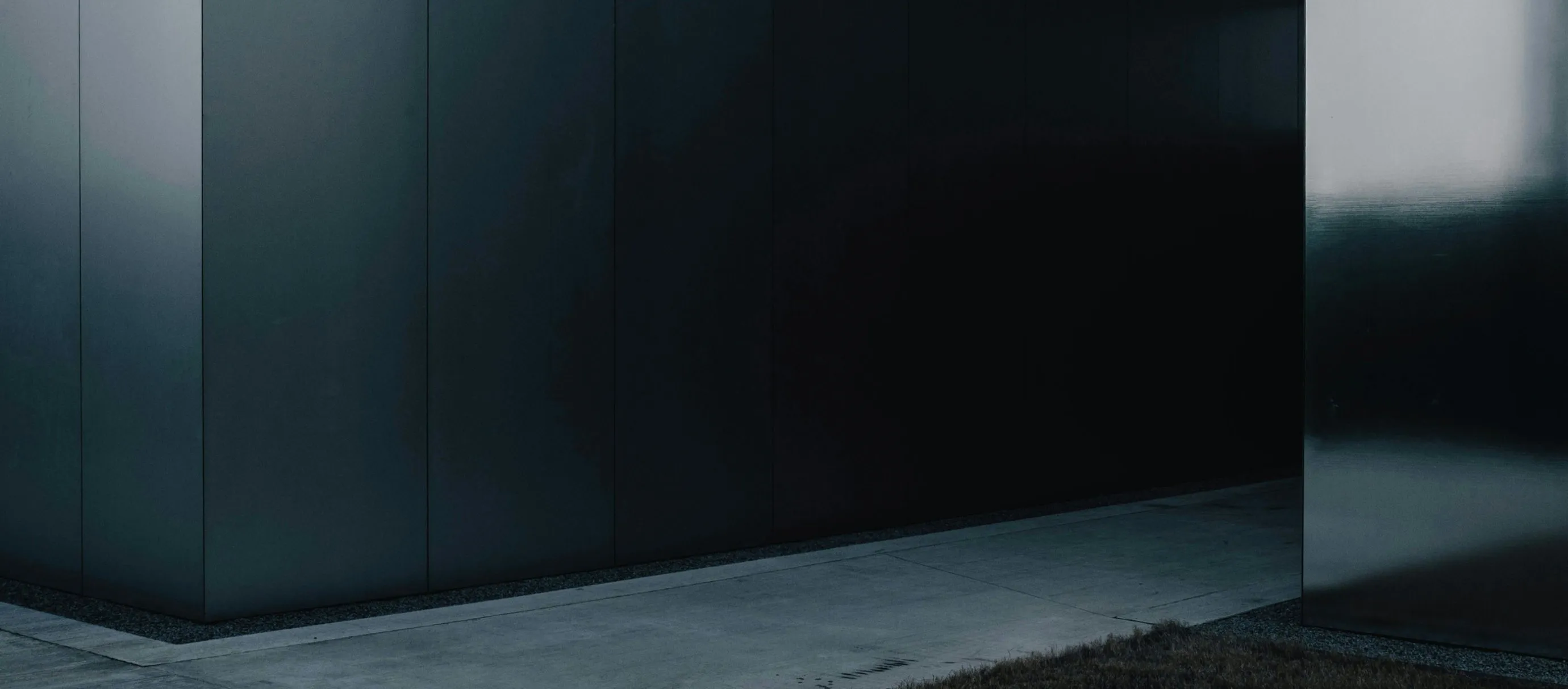
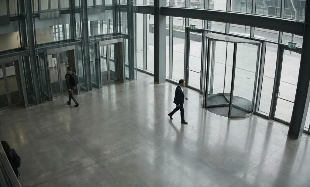
Corporate Security & Facilities
Office and campus environments where security has been designed around doors, gates and fences, but where an aerial view can still expose sensitive areas, working patterns and screens at altitude.
Private Estates & Family Offices
Residences and estates where principals and families want a clear view of what can be seen from above — grounds, access points, windows and routines — beyond what fences and ground-level cameras were designed to handle.
Maritime and Port Operators
Ports, terminals and vessels where approaches, quayside operations and the perimeter all look different from the air than they do on plans or ground patrols, and where multiple operators share the same space.
Insurers and risk committees
Organisations and boards that need documented evidence that aerial exposure has been assessed and addressed, not just noted as an emerging risk in a paper exercise.
What you receive
What you receive
Everything is built around a simple question: what would someone with a drone already know about this place?
.webp)

.jpg)

How it works
How an engagement works
.webp)
01
Initial consultation.
You explain the site, why aerial exposure is a concern, and what you need to know by the end of the work. That shapes the scope, the level of detail and the outputs.
02
Flight planning
Grey Prism reviews the site and its surroundings, then plans flight profiles and vantage points around the questions that matter: the lines of sight an adversary would use, the areas you most need to understand and the constraints of the airspace.
03
Aerial operations
Flights are delivered by our aviation division. Our pilots are GVC-qualified across multi-rotor and fixed-wing platforms, fully insured and operating to the standards expected of professional aerial work. Operations are scheduled to fit how the site runs.
04
Analysis and reporting.
Imagery and data are reviewed, annotated and turned into the outputs above. The aim is a set of findings and recommendations that can be acted on, written clearly for the people who will make the decisions.
why grey prism
Grey Prism combines strategic advisory, intelligence capability, and discreet operational support to help organisations manage risk with clarity and confidence.
Security, not just pictures.
The work is led by security specialists who understand what the aerial view means for exposure, privacy and physical protection. The emphasis is on the changes that will actually move risk, based on what the drone reveals about approach corridors, blind spots and lines of sight your ground-level security was designed around.
Outputs designed to be used
The intelligence package, vulnerability report, threat scenarios and briefing pack are written so they can be used as they are: dropped into security plans, board packs, risk registers and implementation briefs. They do the work of translating aerial imagery into security decisions, so your team does not have to.
In-house aviation capability.
Aerial operations are delivered by our own aviation division. Pilots are GVC-qualified across multi-rotor and fixed-wing platforms, fully insured, and working to the professional standards required of commercial aerial work. The flying and the security assessment sit under the same firm, with a single point of accountability throughout.
Operational experience behind the assessment
The team assessing your site draws on backgrounds in UK Special Forces, military intelligence and specialist police units. That experience shapes what gets looked for, how vulnerabilities are ranked, and how recommendations are written so they can be acted on.
Independent and site-specific.
Every assessment is built around your environment, your operations and your risk profile. There are no templated reports or generic checklists. Findings are specific to the site and written for the people who will act on them.
FAQs
Frequently asked
questions
What can an aerial assessment show that a normal site survey cannot?
Approach corridors, roof access, blind spots and lines of sight that are invisible from the ground. An aerial assessment replicates the view an adversary could already have from the air, and turns that into a documented set of findings your security team can act on.
What formats are available?
Standard imagery, thermal imaging, LiDAR and 3D modelling, selected according to what the site and the requirement demand. The format is chosen to answer the security question, not to produce the most impressive output.
Who carries out the flying?
Sentinel FlightServices, whose in-house pilots are GVC-qualified and operate under CAA PDRA-01authorisation, with insured and Remote ID-compliant platforms. Grey Prism directs the assessment; Sentinel delivers the aviation.Our in-house aviation division. Pilots are GVC-qualified across multi-rotor andfixed-wing platforms, fully insured, and working to the professional standards required of commercial aerial work.
What types of site can you assess?
Corporate campuses and headquarters, private estates, ports, terminals, vessels and other environments where aerial visibility matters. The scope is set during the initial conversation based on the site and the concern.
How long does an assessment take?
It depends on the size of the site and the level of detail required. A single building might be assessed in a day. A large estate, port or multi-building campus will take longer. Every engagement is scoped in advance.
Is the process discreet?
Yes. Flights are planned to minimise visibility and scheduled around site operations. The work is managed through secure communications, and outputs are delivered through agreed channels.
How does this relate to counter-UAS work?
They are complementary. Aerial Intelligence shows you what your site reveals from the air. Counter-UAS Advisory prepares your team for the day a drone appears uninvited. Many clients engage both, because the aerial assessment directly informs the counter-UAS planning.
Who owns the imagery and data from the assessment?
You do. All imagery, video, LiDAR and any other data captured during the assessment remain your property. Grey Prism holds a working copy only for as long as it is needed to complete the analysis and reporting, after which retention follows your preferences and our confidentiality commitments.
Understand your site’s aerial exposure
services


.webp)